
- Sie befinden sich:
- Specials
- »
- disserta Verlag
- »
- Natur / Technik
- »
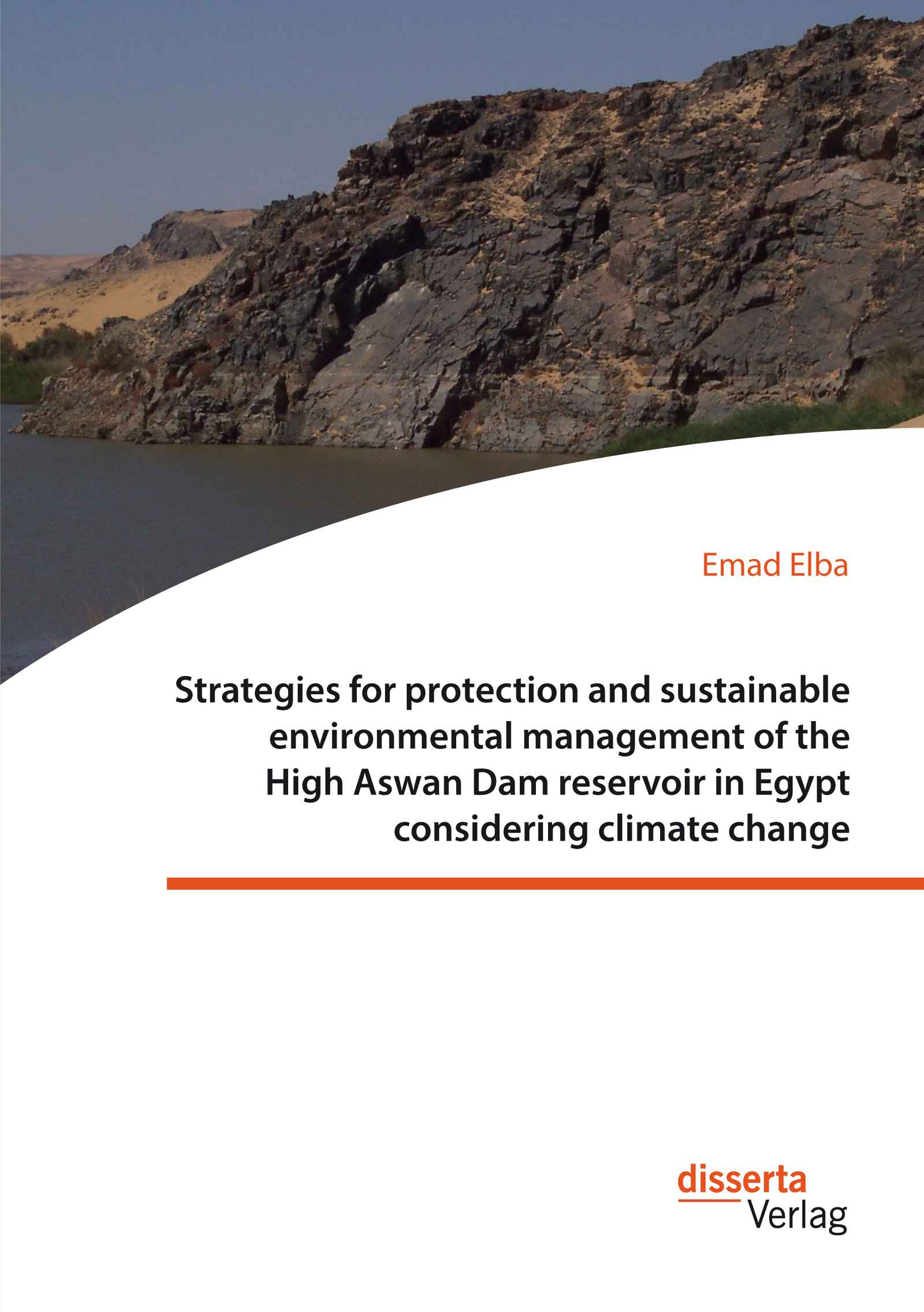
- Strategies for protection and sustainable environmental management of the High Aswan Dam reservoir in Egypt considering climate change
Natur / Technik
» weitere Bücher zum Thema
» Buch empfehlen
» Buch bewerten Produktart: Buch
Verlag: disserta Verlag
Erscheinungsdatum: 01.2017
AuflagenNr.: 1
Seiten: 412
Abb.: 175
Sprache: Englisch
Einband: Paperback
Egypt is vulnerable to climate change, especially with regard to its water and land resources. Climate change will increase the evaporation losses from the High Aswan Dam Reservoir (HADR) and lead to loss of land at the northern coast due to sea level rise. In order to tackle this problem, this book assesses several adaptation tools that could be used to mitigate some of these impacts. For instance, Egypt could optimize ist water resources by decreasing evaporation losses from the HADR, or it could maximize land resources by identifying new settlement sites especially for climate migrants from the northern coastal zones. Databases on the characteristics of the HADR such as meteorological, hydrological, topographic and bed soil sedimentary data were compiled. Based on these databases, up-to-date mathematical models were developed to describe the hydrological characteristics of the HADR. Several options for reducing evaporation losses and new settlement areas were discovered and evaluated. Essential measures to preserve these areas were presented to promote sustainable development in this region.
Textprobe: Chapter 3.4.3, Geology of the HADR area: Figure 3.39 shows the basic geological map of the HADR area (Said, 1993). The major exposed rock units around the reservoir are Nubia Sandstones. Sand sheets and sand dunes are also relevant for the area. The Sinn El Kaddab carbonate plateau lies at the western side of the HADR. Granites and metamorphic hills are found on the reservoirs eastern side. The Nubia Sandstone plateau in the north eastern side of the reservoir displays an average elevation of 450 m AMSL, while on the other, western side of this water body, isolated hills of Nubia Sandstone are scattered over a wide area with an average altitude of 370 m AMSL. The sediments around Kalabsha Khor consist of fluvial deposits with cross bedded sand stone and have an average altitude of 250 m AMSL. The granite and meta-volcanic hills, in the northern part of the eastern side of the reservoir, have elevations ranging from 390 m to 590 m AMSL with eroded steep slopes. Oligocene basalt extrusions in the area are found in a North West direction around Abu Simbel and Toshka, in structurally controlled tectonically disturbed zones, within Cretaceous Nubia Sandstone exposures. Sand dune encroachments into the reservoir are frequently distributed over major sectors along the northern reservoir boundaries (Said, 1993). From a geomorphologic point of view, the area around Aswan is almost flat, with a topography varying from 150350 m AMSL. It is dominated by faults and the presence of several alkali granites and a syenite ring complex. Tectonic features, dominated by East West and North South fault systems, as well as a regional uplift characterize the northern part of the HADR. Geological data of these features indicate that a right-lateral strike-slip movement is the dominant mechanism along the Kalabsha Fault zone. Igneous intrusions and associated contact metamorphism may be found in a few localities on the western side of the HADR (Khalil et al., 2011). From a hydrogeological point of view, the Nubian formation in the area consists of three horizontal units of total maximum thickness of 400 m. The lowermost unit, overlying the granitic basement, is an aquifer of fluvial sandstones and has a large-scale (several kilometers) horizontal permeability of 0.32 0.43 µm2. The middle unit is an Aquiclude unit (A hydrogeologic unit which, although porous and capable of storing water) that extends unbroken under the lake and leaks at times for several years. The uppermost unit is the phreatic aquifer, which is composed of 25% 30% of porosity sandstones, interspersed with clay stone lenses, and has a large-scale permeability of 1.0 1.5 µm2 (Said, 1993). 3.4.4, Climate: The HADR reservoir is situated in a desert area where the climate is extremely arid. The area is in the transition zone between the tropical climate with summer rain and the Mediterranean climate with winter rain (Springuel, 2005). Rainfall is extremely scarce during winter season, but sometimes occurs in very small amounts when the area is affected by active cold fronts of the Mediterranean depressions. Rainfall records during of the past 50 years, from 1961 to 2010, are grouped in six categories as listed in Table 3.11 (NWS, 2012, Nour El-Din, 2013). The area around the HADR receives virtually no rainfall, except for occasional thunder storms in the winter, roughly once every ten years. The relative humidity is highest (40 41%) in December and January and lowest in May and June (13% 15%). The wind speed does not vary greatly throughout the year, as the mean ranges from approximately 15 to 19 km/h. Ist direction is mostly NW-NE. Evaporation is very high, approximately 3000 mm/year (NWS, 2012, Nour El-Din, 2013). There are six floating meteorological stations on the lake and one on the bank. One of the stations is a telemetric station in Abu-Simbel city (280 km upstream HAD), referred to as Toshka Station, and the others are over water (floating) meteorological stations operated by the High Dam Authority (HDA). The names of these stations are Aswan Raft Station (2 km upstream HAD), Kalabsha station (40 km upstream HAD), El-Alaky Station (75 km upstream HAD), Amada Temple station (185 km upstream HAD), and Abu-Simbel Station (280km upstream HAD). Figure 3.40 shows all meteorological stations on the HADR (NWS, 2012). Data of the temperature of lake water, air temperature, wind speed and direction, relative humidity, and barometric (atmospheric pressure) are available for all stations except Toshka station, which does not record atmospheric pressure but Net radiation, collected only at Toshka station. Data from Abu Simbel and Toshka stations are hourly data while the available data from other stations are daily data. Net radiation is available at Toshka meteorological station only for about three years. In addition to these stations, the HADR's size and irregular geometry required that detailed thermal surveys be conducted to accurately measure the heat content of the lake. Lake water temperature data were collected at various depths at different stations throughout the HADR, providing data necessary to calculate average lake temperature using the energy budget method. The analysis of raw data is presented through plotting the raw data with respect to time and determines the trend line under confidence limits of 95% (NWS, 2012). Description of these meteorological stations is available in Appendix B. 3.4.5, Hydrology of the HADR: The reservoir water levels change according to inflow and outflow rates. The highest water level was recorded in November 1999 at 181.6 m AMSL, while the lowest was in July 1988 at 150.6 m AMSL (Figure 3.41). Figure 3.42 shows the annual release and the HADR water levels through from the 1966 to 2006. The actual annual release often deviates from 55.5 km3. Less than 55.5 km3 was released in all five years between 1987 and 1991. More than 55.5 km3 was released in between 1977 and 1984 as well as in all the years between 1998 and 2006. Between 1998 and 2006, the high releases were associated with very high inflows and, consequently, resulted in high reservoir levels (NWS, 2012). The reservoir water velocity decreases as it approaches the HAD. At the entrance of the HADR, the flow velocity is approximately 0.5 m/s. This velocity is gradually reduced within a few kilometers to 0.1 - 0.2 m/s (MWRI, 2001). As mentioned before, the Permanent Joint Technical Commission (PJTC) for the Nile Waters has suggested a sliding scale for lake operation during dry periods. According to this sliding scale, releases from the lake should be reduced if the lake storage is less than 60 km3. The storage of 60 km3 corresponds with a lake level between 159 and 160 m AMSL. Figure 3.42 shows that this sliding scale has not been strictly followed. For example, between 1985 and 1987, the lake levels were below 159 m AMSL. This means that the annual release should have been less than 55.5 km3. However, during these years, at least 55.5 km3 was released. From 1990 to 1992, the releases were lower than 55.5 km3 although this was not necessary according to the sliding scale (NWS, 2012). According to the operation rules, the level on August 1st should not be higher than 175 m AMSL in order to store the coming flood. However, from 1998 to 2007, the lake was operated well in the flood storage zone (Figure 3.43). The lake level on the first of August was near 176 m AMSL instead of the agreed 175 m AMSL (Figure 3.44). According to decree 203/2002, two km around the lake is the buffer zone, to protect the water quality of the HADR. The decree states that it is forbidden to undertake actions or activities or procedures which would lead to the destruction, damage, or degradation of the natural environment within this buffer zone (Zaghloul et al., 2011).
Emad El-Din Mohammad Elba, was born 1967 in Egypt. The author got his bachelor's degree in Civil Engineer from Ain Shams University in Egypt. He gained his research experience in the fields of water resources management, sustainable development, preservation and climate change from expert professors of Leuphana University Lueneburg, Germany, where he got both his master's and doctorate degrees. Since 1995, he has been working in Nile water sector at the Egyptian Ministry of Water Resources and Irrigation where he gained his practical experience from the Nile hydrology experts. He worked in the Nile Basin countries and participated in the hydrological studies of the Nile basin of Lake Victoria in Uganda and High Aswan Dam Reservoir (HADR) in Egypt and Sudan. While joining the HADR surveying mission, the author decided to study how to reduce the evaporation losses to optimize Egypt's water resources.
weitere Bücher zum Thema

Influence of physical cues from the degrading magnesium implants on human cells
ISBN: 978-3-95935-614-5
EUR 29,90
Entwicklung und Evaluation eines fachdidaktischen Erklärvideoformats am Beispiel selbstdifferenzierender Mathematikaufgaben
ISBN: 978-3-95935-616-9
EUR 54,50
Information and Communication Technologies in Pakistan. History and analysis of electronic public services (2000-2012)
ISBN: 978-3-95935-536-0
EUR 49,50
Fusion von Tageskontext und Mobilitätsgewohnheiten als Enablersystem für Mobilitätsassistenten
ISBN: 978-3-95935-454-7
EUR 49,99
Fußpflege von Patienten mit Diabetes mellitus Typ 2 und dem diabetischen Fußsyndrom: Eine Querschnittstudie zur Wissens-Verhaltens-Lücke und zur Rolle von Barrieren
ISBN: 978-3-95935-444-8
EUR 44,99
Geschichte der Hydroelektrizität im Raum Salzburg. Eine historische und industriearchäologische Studie alter Wasserkraftwerke
ISBN: 978-3-95935-434-9
EUR 44,99
Entwicklung eines IT-gestützten Kosteninformationssystems als Instrument des Produktkostenmanagements in der Auftragsfertigung. Konzeption und Umsetzung am Beispiel des Werkzeug- und Formenbaus
ISBN: 978-3-95935-430-1
EUR 49,99
Insektizide im Wald. Anwendung im Rahmen des Waldschutzes, Ausbringungsmengen und Meinung der Bevölkerung
ISBN: 978-3-95935-384-7
EUR 39,99
Therapieassoziierte kognitive Funktionsstörungen und deren psychometrische Erfassung bei Patienten mit primären Gehirntumoren
ISBN: 978-3-95935-369-4
EUR 49,99
Ultradünne Filme und Membranen aus Koordinationspolymeren und ihr Stofftransportverhalten
ISBN: 978-3-95935-360-1
EUR 64,99
